


Shifts in the global climate look set to affect Europe’s weather towards the end of 2015 – with high winds expected to cause major damage and disruption
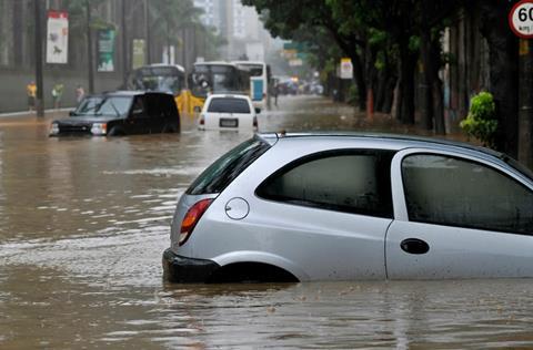
A return to stormy weather is expected late in the Autumn across the UK and north-western Europe. According to one forecast, temperatures will be below average for the season while December is set to be stormy.
A record-breaking El Niño in the Pacific could lead to the development of a strong jet stream, causing large Atlantic depressions.
“If we look beyond our shores there have been some big changes in the global climate this year,” said Met Office chief scientist Dame Julia Slingo.
“El Niño is in full flight, disturbing weather patterns around the world … And, looking back over past El Niños, you could have expected that a more unsettled summer might be on the cards for the UK.
“Closer to home, the North Atlantic is more than two degrees colder than normal. It seems quite likely that the unusually cold North Atlantic has pushed our jet stream south, also contributing to the low pressure systems dominating our weather.”
Previous cycles, such as the last El Niño of 2009/2010, led to colder, drier conditions in Northern Europe and wetter, milder winters through southern Europe and the Mediterranean.
But JBA Risk Management technical director Iain Willis, thinks another natural climatic cycle – the positive phase of the North Atlantic Oscillation (NAO) – has significant influence over winter weather.

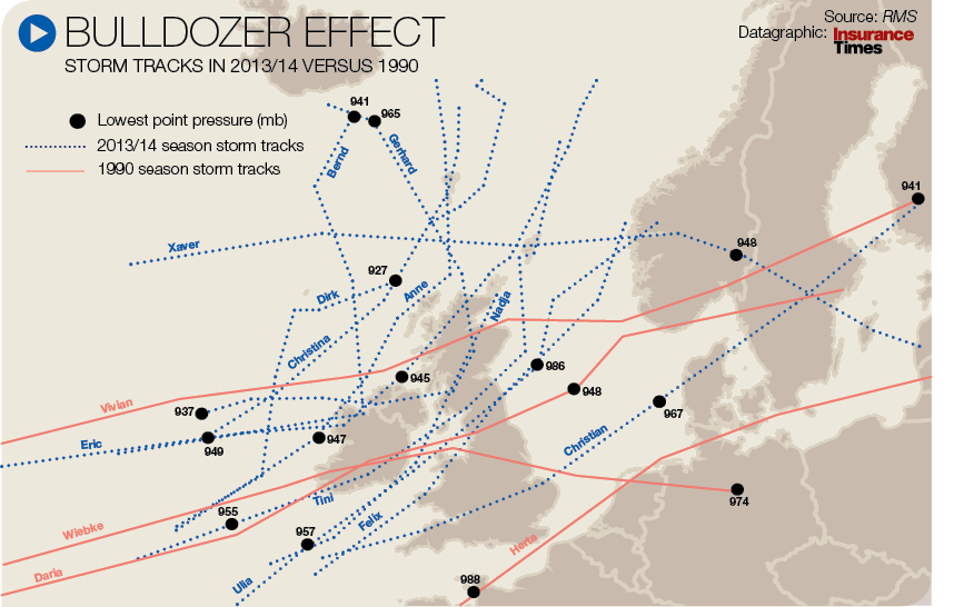
Click here for a larger version
Bulldozer effect
He says certain weather patterns can cause a “clustering” effect, such as in winter 2013/14 when the UK was hit by a succession of winter storms.
“You have a series of low pressure systems in the Atlantic, and with extra-tropical cyclones there is a bulldozer effect. The first comes through and almost clears the path for the second and third.
“Looking at windstorms, 1990 and 1999 were significant in Europe. In 1999, windstorms Lothar and Martin were 36 hours apart and hit many of the same areas. Hence, insurers weren’t sure which storm caused which losses.”
He continued: “When the NAO is in a positive phase the pressure gradient is higher and it causes the jet stream to strengthen. This allows the windstorms to have higher windspeeds and have a greater potential to cause damage.
“That happened in winter 2013/14 quite a lot. It brings also the wet weather – wet winters with high precipitation because they are picking up moisture from the Atlantic.”

Hosted by comedian and actor Tom Allen, 34 Gold, 23 Silver and 22 Bronze awards were handed out across an amazing 34 categories recognising brilliance and innovation right across the breadth of UK general insurance.


No comments yet