


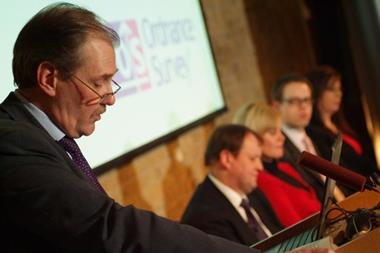
Panel discussion: Sarah Adams, insurance sector manager, Ordnance Survey
Sarah Adams, insurance sector manager at Ordnance Survey discusses how geography can unlock the value of data and help increase the success of fighting fraud, with real-life examples.
“Many organisations are increasingly using highly detailed geographical information for identity verification,” she says. Find out the results by watching the video.
For more information about Sarah Adams’ comments please visit: Ordnance Survey
View from the panel
As many insurers move to outsourcing or centralising claims departments to increase efficiency and cut costs, the loss of ‘local’ knowledge is beginning to impact the detection of fraudulent claims.
We discussed how Technology and more specifically a detailed understanding of geography can help replicate that local “lie of the land” knowledge and how many organisations are increasingly using both to help validate identity. For example, by asking a claimant to confirm what public building would they see if they were to walk east to the end of their road? If the claimant responded quickly and confidently ‘St Peter’s Church’ - the claims handler by this positive identification would have increased confidence that the customer indeed had the local knowledge that would be expected of somebody living in e.g. Windsor Avenue.
If the claimant had given an incorrect answer, it would raise another red flag for claims handlers to consider. This type of identity verification is being used by some UK credit card companies and banks.
Recent analysis for an insurer found bogus addresses when combining Ordnance Survey addressing data with the insurers’ claim data. The claimant stated that he lived at 4 Weedon Street, Rochdale whilst Ordnance Survey’s data showed that particular street only had odd street numbers.
Therefore, anyone submitting a claim for 4 Weedon Street would be using a false address. Would a centralised claims centre even doubt the existence of this seemingly accurate address? Particularly if the street name and postcode are valid?
But it’s not only the claimants who are in on the scams, fraud enablers or the ‘bad apples’ in the supply chain are also cashing in. Work with a local authority showed following a surge of slip and trip claims, Ordnance Survey data showed that claimants were all using the same GP, some 70kms away.
Similarly, another case showed one solicitor was being used for claims, some 70 miles from the claimants’ home.
These examples prove that the use of geography and the visualisation of insurers’ data can help insurers uncover sometimes glaringly obvious links or connections which previously had been missed using conventional systems or methods. Its clear that as the economy moves deeper into recession, only insurers willing to continue to invest in technology to improve back office efficiencies, customer service and reduce fraud losses will succeed.
The use of geography in improved technology systems can unlock the location based knowledge lost in spreadsheets, legacy databases and moves to centralisation and outsourcing; allowing insurers to fully understand the lie of the land.
Sarah Adams is Insurance Sector Manager, Ordnance Survey


No comments yet